 Today's hike was Cari's choice. She took us into Table Rock State Park. We walked a trail called, "Carricks Creek". The trail is roughly 1.5 miles and changes elevation about 600ft. It takes about an hour to hike. One more bit of information about the State park that I learned today is that the land used to be the Southern part of the Cherokee Nation. We kept a watchful eye for stray Indians, but didn't see any.
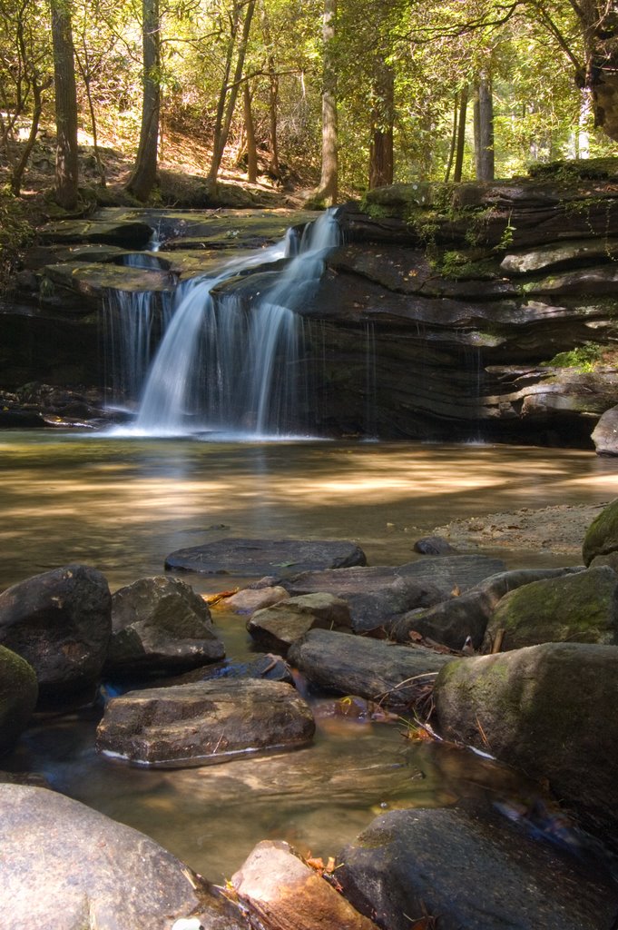
This was a great hike. The first half of the trail follows along Carrick creek (imagine that). The creek cascades down rocks as it descends the mountain. We saw several areas where you could see how the water has cut into the rock over centuries of flowing.
We took our GPS for the first time today. We put some geocache locations in it before we left. We searched for one near the parking area in an old picnic area that had an old stone fire pit. At the time, the GPS unit said it was accurate to about 35 ft, so we had a radius to search. After a while of stomping around in the woods we gave up and left without finding anything.
When we got home, we pulled up the location on geocaching.com and realized the cache was inside that old stone fire pit. It was under a few small rocks that Cari and I both thought about moving, but didn't. We have a lot to learn about Geocaching.
Here's a few more pictures from our hike today:


2 comments:
I love the bottom photo of the tree. It would look amazing in black and white too.
I have other pictures of that tree at
talkinhand blog.
http://talkinhand.blogspot.com/
Post a Comment